This Cool Map Shows Where Philly’s Most Photogenic Streets Are Located
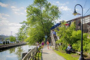
Wallace Street | Photo credit: Flickr user Brookeipse
The more projects spring up, the more people move to Center City, the more overall change Philly is seeing to its landscape…all of this combined makes for spellbinding excursions around a city with deeply-rooted neighborhood histories and evolving city blocks, regardless of whether its by lifelong residents or newcomers. But with so much going on, how do you know which areas to check out first?
A fellow named Eric Fisher can help you out there.
See, Fisher works at Mapbox, a mapping platform for developers. (Some of their clients include Pinterest, FourSquare, Evernote, you get the point.) Five years ago, Fisher decided to start a project called “The Geotaggers’ World Atlas,” which uses photo locations from Flickr to help discover (and in some cases re-discover) “the world’s most interesting places and the routes that people follow between them.” What’s cool about the project, Fisher says, is that not only do these geotagged photos show which streets are worth photographing, but that it reveals those places that were previously overlooked.
Play around with the zoomage in Fisher’s “Geotaggers World Atlas” Philly map we embedded below. See any ‘hoods you’re thinking of hitting up now? (If so, be sure to upload them to Instagram and use the hashtag #phillyscape!)
Map by Eric Fisher via Mapbox.com
Linking the most interesting places in the world [Mapbox]
H/T: Mapping Every City’s Most Scenic Routes, One Photo at a Time [CityLab]