This Is How Much Philly Has Changed In Three Decades–And It Continues to Do So
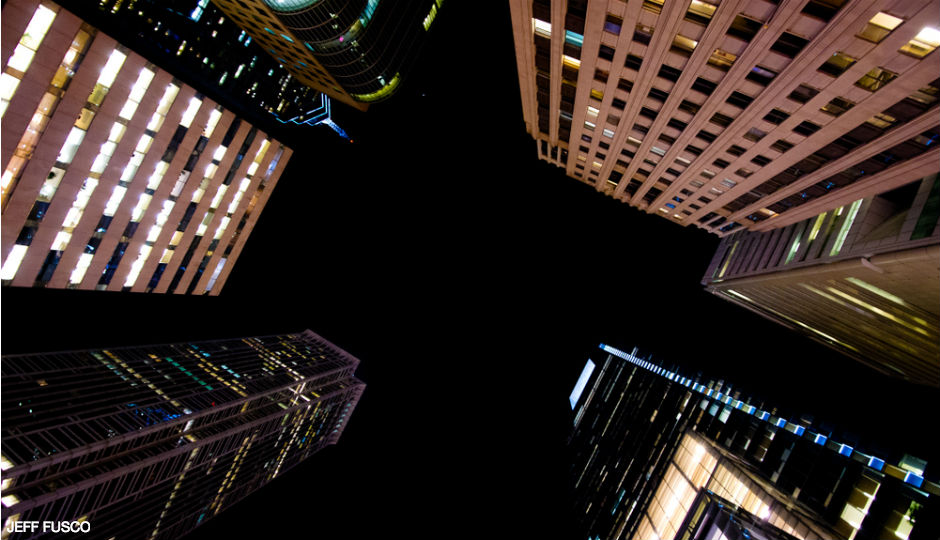
Photo by Jeff Fusco
Remember that mesmerizing slider that compared the Center City of 1965 with the one from 2014? Well, we stumbled upon an old CityLab post (old meaning two years ago) that highlighted an interactive time-lapse of various satellite images from NASA and the U.S. Geological Survey’s Landsat program. It gave us an idea…
According to CityLab, the Timelapse project–which Google has GIFs of!–is a venture between TIME, Google, NASA, USGS, and the CREATE Lab at Carnegie Mellon University. It’s meant as a kind of digital flip book that puts the “stunning change across the earth’s surface, in both our natural environments and our man-made ones” right before our eyes.
They are, to say the least, quite revealing. Here’s how CityLab’s Emily Badger put it then:
Over time, the images reveal a record of change: of cities expanding, lakes and forests disappearing, new islands emerging from the sea off the coast of rising Middle East metropolises like Dubai.
Cities expanding? Rising metropolises like Dubai? Well, Philly may be no Dubai, but it is certainly rising and expanding. So, yeah, we zoomed in as much as we could into our fair city on the program map and GIFed up its progression between 1984 and 2012.
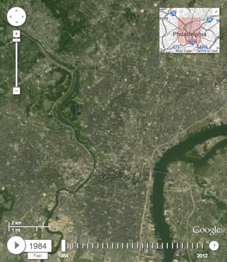
GIF by Angelly Carrion
Can you imagine how much more Philadelphia is going to change in the next thirty years?
A Terrifying, Fascinating Timelapse of 30 Years of Human Impact on Earth [CityLab]