Philly Could See Record Low Temperatures This Week — and Maybe a Dash of Snow
With expected lows in the 20s, consider it a winter weather preview.
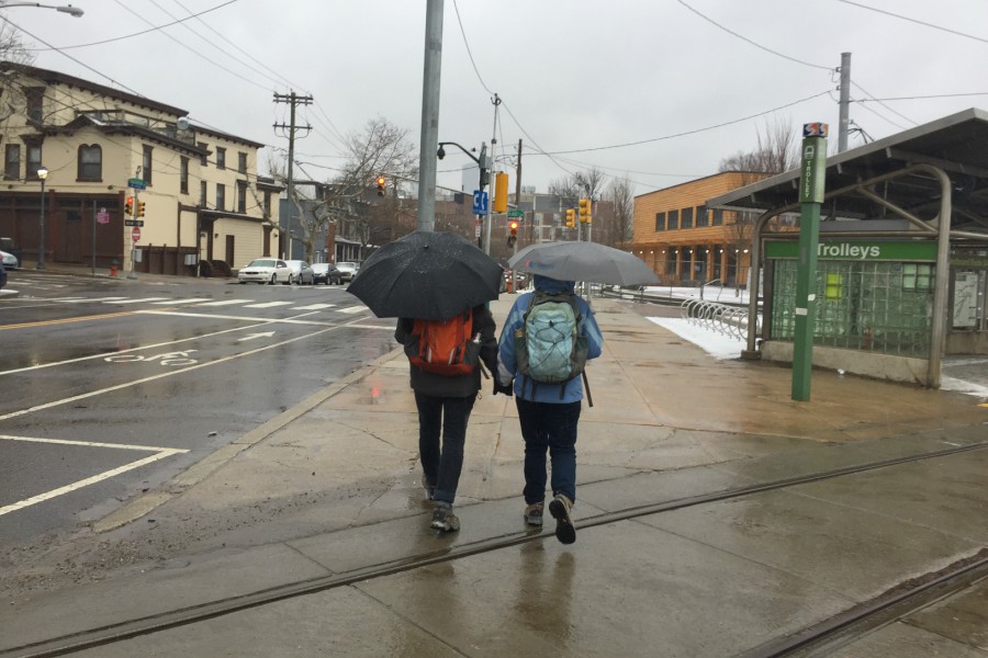
Start busting out the winter coats and rain boots now, because the weather is about to get cold in Philadelphia.
If you were to step outside right now, on Monday afternoon, you’d find yourself in the balmy embrace of fall. Temperatures in the mid-60s, the leaves a mix of greens, browns, and oranges. But don’t get used to it. The season’s first severe cold front is rushing to put an end to those idyllic feelings with what could be near record-breaking temperatures for this time of year, along with the chance of the season’s first snow.
According to the National Weather Service, the front will announce its arrival in Philly on Tuesday morning with some rain. By the afternoon, we could be in store a little sneak peek of snow. Don’t get your hopes up for November snowmen, though: The NWS doesn’t expect there will be any actual snow accumulation on the ground.
This time of year, temperatures are normally closer to what we experienced on Monday: highs in the upper 50s, lows in the 40s. But Tuesday’s high is expected to be just 47 degrees — a full 17-degree drop from Monday. And in reality, NWS says Tuesday’s going to be even colder. “Tuesday’s high temperatures are,” the agency’s forecasters report, “not particularly meaningful, as these highs will occur early in the morning.” What you’ll really feel outside most of the day is something closer to the mid-30s.
For those of you who follow all-time weather records for a given day, Tuesday evening is when things start to get truly exciting. The NWS is currently forecasting a low of 22 degrees, which would break the current record low temperature for November 12th of 26 degrees, set way back in 1976. The fun might even continue the following day. On Wednesday, the NWS is predicting the temperature will reach just 35 degrees. Then, that evening, the forecasted low of 25 degrees is just about even with the all-time record of 24 degrees from 1986. Will we break two consecutive all-time lows in consecutive days? You’ll just have to cozy up in your warmest sweater and wait and see.
You know what they say: Records are made to be broken. And then, the inevitable regression to the mean occurs. Indeed, on Friday, NWS is predicting a swing back to balmy fall normalcy with a high temperature of 51 degrees. But at least you’ll get to give the old winter coat and boots a midweek test run. Then go back to enjoying fall, because the real winter will be here in no time.