Morning Headlines: There Is an Underlying Logic to Snow Plowing in Philadelphia
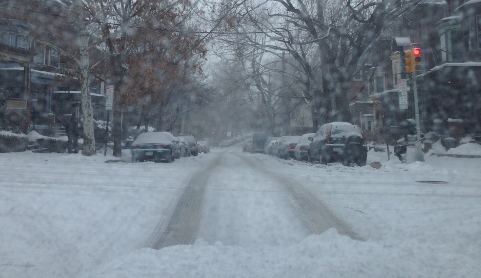
Looking at an unplowed street in West Philadelphia from behind the wheel. Photo by Liz Spikol.
The Atlantic Cities’ Emily Badger is so very handy with maps, placing them in juxtaposition to reveal the stark differences between cities. Here she presents snow emergency routes from a number of East Coast cities, Philadelphia included. The street grids show which arteries are considered plow priorities.
Bad weather reduces a city to its critical bones, as most of us stay home. All but the most important roads remain inaccessible. Residential neighborhoods stay snowed-under in favor of commercial corridors and highways. Major bus routes take precedent over side streets, as do downtown districts over peripheral communities.
Compare these maps against each other, and they also reveal an underlying logic in how each city is organized, by grid (Chicago), by waterway (Philadelphia), or by relative chaos (we’re looking at you, Louisville).
Louisville does look crazy, as does Baltimore. Oklahoma City, as they say in the song, looks mighty pretty. One thing you will most certainly notice, though: Philadelphia doesn’t have a lot of red lines compared to those other maps — not even random squiggles, like Baltimore. Count them yourself.
• Cities, Mapped by Their Snow Routes [Atlantic Cities]
Meanwhile, in other happenings…
• Study: Anti-blight initiative seems to be working [Daily News]
• Two churches, different financial trajectories [Inquirer]
• Apartment sales off to bad start in 2014 [Philadelphia Business Journal]
• Judge blocks defense motions in Phila. building-collapse case [Philly.com]
• Ahead of Cricket Lot redevelopment, parking proposals mulled by Lower Merion BOC [Main Line Times]