
According to the New York Times, Philadelphia Has a “Northside”
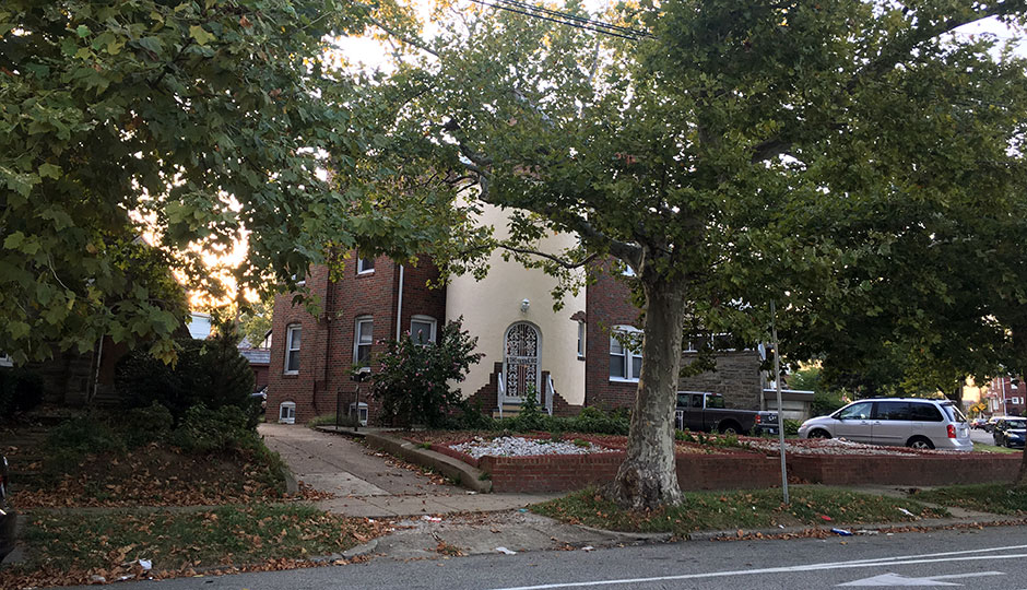
A house on Oxford Avenue in Frankford. It’s in the Northwood section of Frankford. I think! | Photo: Dan McQuade
There was an article in The New York Times on Saturday about Philadelphia — more specifically, about Donald Trump’s comments on Philadelphia and other big cities.
Trump, as he did last week in Philadelphia, frequently lies and exaggerates when talking about American cities, which apparently to him are hellstrips of constant, indiscriminate bloodshed. In reality, of course, cities are complicated places: Even poor, high-crime neighborhoods can be vibrant places to live, shop, and work.
Writer John Eligon’s description of pre-gentrification Fishtown is “a tattered haven for drugs and other vices,” which is a bit much, but otherwise his story is on point: Cities are not full of “American carnage,” as Trump put it in his inauguration speech.
We could discuss this story more, but instead let’s focus on the important things: The hilarious description of Frankford’s location in Philadelphia.
As Shanise Bolden, 26, strolled through her Northside neighborhood, Frankford, to her job working with the mentally ill, she had earbuds in her ear and carried her iPhone in a colorful case.
Her. Northside. Neighborhood.
Unlike in, say, Pittsburgh or Cincinnati or Indianapolis, no one in Philadelphia calls anything the “Northside” — and even if we did, Frankford, which is part of the Lower Northeast, wouldn’t be in it. And as always when someone writes something even slightly incorrect about our city, we Philadelphians will harp on it.
But we can forgive the Times. Philadelphia neighborhoods are complicated. Everyone in this city seems to have a different definition of its neighborhood boundaries. I’ve written before about the Northeast Philadelphia neighborhood I grew up in, Pennswood, and how no one (not even me) called it by its name. Frequently I was labeled as a Modena Park kid, but Modena Park is on the other side of Chalfont. My neighborhood was different.
But it goes beyond obscure 1960s Far Northeast development. You might have different opinions on the borders of various neighborhoods yourself. Where does the Gayborhood end and Washington Square West begin? What about Midtown Village? What about Rittenhouse vs. Fitler Square? Does Graduate Hospital even exist anymore? Is Center City’s northern — sorry, Northside — border Vine Street, or something else? And what about the people in South Philly who insist it’s South Philly that’s “downtown” and not Center City?
Even Frankford has its eccentricities. There’s also an East Frankford. There’s a neighborhood called Northwood inside Frankford. Are these parts of Frankford, or are they separate neighborhoods themselves? I could probably spend years — in fact, I kind of have — detailing the boundaries of different neighborhoods in Philadelphia and not come up with great answers.
But it’s important to get it as close to “correct” as you can. I wrote previously about E.M. Stanton Catchment Area, the neighborhood Google Maps invented that still has its own Wikipedia page.
There is a tool that can help. Whenever I’m confused on a neighborhood, I consult an old interactive Inquirer map of Philly neighborhoods. It doesn’t even seem to be on the Philly.com homepage anymore, but if you type in an address it will show you what section of the city you’re in.
It’s not perfect — my childhood home is still placed in Modena — but it’s not bad. Northsider or southsider, you can learn quite a bit about the city’s neighborhood from this map.